Ley Lines and Faerie Chains Lines of Power Linking Prehistoric Sites Mary Sutherland Imagine a fairy chain stretched from mountain peak to mountain peak, as far as the eye could reach, and paved out until it reached the 'high places' of the earth at a number of ridges, banks, and knowls...then ... Visualize a mound, circular earthwork, or clump of trees, planted on these high points, and in low points in the valley other mounds ringed around with water to be seen from a distance. Then great standing stones brought to mark the way at intervals, and on a bank leading up to a mountain ridge or down to a ford the track cut deep so as to form a guiding notch on the skyline as you come up.... Here and there, at two ends of the way, a beacon fire used to lay out the track. With ponds dug on the line, or streams banked up into 'flashes' to form reflecting points on the beacon track so that it might be checked when at least once a year the beacon was fired on the traditional day. All these works exactly on the sighting line!" According to Paul Devereux, it was the occultist Dion Fortune in her 1936 novel The Goat-Foot God (republished in 1971 by S. Weiser, New York, and in 1989 by Aquarian Press, Northamptonshire) who realized that ley lines were "lines of power" linking prehistoric sites. A few years later, it was suggested that ley lines followed lines of cosmic energy in the Earth and could be detected using dowsing rods. In the 1960s, ley lines became linked with UFO sightings In the 19th century, geomancy came to be applied to the Chinese practice of feng shui by which the location and orientation of houses and tombs was determined with close regard to the topography of the local landscape. The feng shui master or geomant employed a circular magnetic compass, called a luopan, which was marked off in rings containing data relating to astrology, directions, the elements, landscape forms, times of day, and so on. The aim was to locate a site where the energies or ch'i of the land and sky were brought into perfect balance. The harmony of these energies ensured good fortune. Continued on Next Page |
Exploring the Unknown Ley Lines and Faerie Chains with Mary Sutherland
| Giants ...Giants...Giants...Giants.. Was there a giant race of humans before us? Could there been a giant race existing before the flood. One age of Man dying out being replaced by another. Reports of giant remains and skeletons being unearthed show convincing evidence that these giants indeed existed in a pre-existing culture. Read below of the Giant Races of the World. |
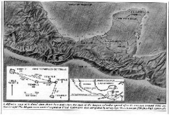
| Ancient Maps Supporting theories that the Aztec and Toltecs were in North America First - THEN migrated South Click Here |
Ley Lines and Faerie Chains
Lines of Power Linking Prehistoric Sites
Mary Sutherland -
Author of the World's Best Selling Books on Giants and Ancient Man
Purchase Red Haired Giants and Mary Sutherland's Other Books Here or on Amazon
Burlington News Home Page
Ancient Races Home Page
Lines of Power Linking Prehistoric Sites
Mary Sutherland -
Author of the World's Best Selling Books on Giants and Ancient Man
Purchase Red Haired Giants and Mary Sutherland's Other Books Here or on Amazon
Burlington News Home Page
Ancient Races Home Page

| Help Support Mary Sutherland's Work by sending a Donation. Thank You. |
| In Search of Ancient Copper Culture and Mound Builders with Brad and Mary Sutherland Rock Lake Aztalan Franks Hill Burlington Michigan |
| Did A Race of Giants Pre-Exist Modern Man GIANTS OF NORTH AMERICA Back to Giants Home Page |